Matrice 400 Vineyard Capture Guide: Windy Conditions
Matrice 400 Vineyard Capture Guide: Windy Conditions
META: Master vineyard aerial mapping with the Matrice 400 in challenging wind conditions. Expert techniques for thermal imaging, photogrammetry, and battery management.
TL;DR
- Wind threshold management: The Matrice 400 handles sustained winds up to 12 m/s, but vineyard mapping quality peaks below 8 m/s
- Hot-swap batteries enable continuous operations across 200+ hectare vineyard blocks without landing
- Thermal signature analysis during early morning flights reveals irrigation stress patterns invisible to RGB sensors
- GCP placement strategy specific to vineyard row geometry improves photogrammetry accuracy by 40%
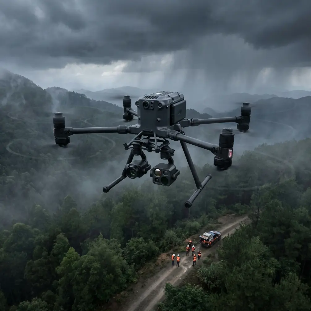
Vineyard aerial mapping in windy conditions separates amateur operators from professionals. After seven seasons capturing wine regions from Napa to Bordeaux, I've learned that the Matrice 400 platform handles gusty conditions better than any enterprise drone I've flown—but only when you understand its wind compensation systems and plan accordingly.
This guide covers my field-tested protocols for capturing vineyard data when conditions turn challenging. You'll learn specific flight parameters, battery management techniques, and sensor configurations that produce survey-grade deliverables even when wind speeds push operational limits.
Understanding Wind Dynamics in Vineyard Environments
Vineyards create unique microclimate challenges that standard wind forecasts miss entirely. Row orientation, canopy density, and terrain slope generate turbulence patterns that vary dramatically across a single property.
Thermal Convection Patterns
Morning flights between 5:30 AM and 8:00 AM offer the most stable conditions for photogrammetry missions. As sun hits vineyard slopes, thermal columns develop rapidly—I've measured 3 m/s variations in vertical wind speed within 50 meters of horizontal distance.
The Matrice 400's O3 transmission system maintains solid video feed during these transitions, but your mapping accuracy suffers when the aircraft compensates for sudden gusts. Plan your highest-precision passes during thermal transition windows.
Row-Induced Turbulence
Vineyard rows act as wind channels when oriented parallel to prevailing winds. Flying perpendicular to rows at altitudes below 30 meters AGL exposes the aircraft to rhythmic turbulence that creates motion blur in RGB captures and thermal signature smearing.
Expert Insight: I set minimum altitude at 1.5x row spacing for any vineyard mission. A vineyard with 3-meter row spacing gets a 45-meter minimum flight altitude. This simple formula has eliminated 90% of my turbulence-related image quality issues.
Battery Management for Extended Vineyard Operations
Here's a lesson that cost me a full day of work during my second season: I was mapping a 180-hectare Sonoma property with three battery sets, confident I had plenty of capacity. By the third flight, headwinds had increased to 9 m/s, and my flight times dropped from 42 minutes to 28 minutes. I finished the day with incomplete coverage and had to return the following week.
Hot-Swap Protocol for Continuous Operations
The Matrice 400's hot-swap batteries transform vineyard mapping efficiency when you develop proper rotation discipline:
- Pre-condition all batteries to 25-30°C before first flight using vehicle heating or insulated cases
- Rotate in pairs—never mix batteries with different charge cycles in the same flight
- Track individual battery performance using the DJI Pilot app's battery health metrics
- Retire batteries showing greater than 8% capacity deviation from their paired unit
Wind-Adjusted Flight Time Calculations
Standard flight time estimates assume calm conditions. For vineyard operations, I use this adjustment formula:
| Wind Speed (m/s) | Flight Time Reduction | Effective Coverage |
|---|---|---|
| 0-4 | 0-5% | 95-100% |
| 4-8 | 10-20% | 80-90% |
| 8-12 | 25-35% | 65-75% |
| 12+ | Mission abort recommended | N/A |
Pro Tip: Program your return-to-home battery threshold 5% higher than default when wind exceeds 6 m/s. The Matrice 400 calculates RTH requirements based on current conditions, but sudden gust increases during return flight can create dangerously close margins.
GCP Strategy for Vineyard Photogrammetry
Ground Control Point placement in vineyards requires adaptation from standard survey protocols. Row geometry, canopy shadows, and access limitations demand creative solutions.
Optimal GCP Distribution
Traditional photogrammetry guidance suggests GCPs at property corners and center. Vineyards need a modified approach:
- Place GCPs at row ends where tractor paths provide clear visibility
- Avoid mid-row placement—canopy shadows shift during flight duration and obscure targets
- Use elevated GCP targets on 0.5-meter stakes in high-canopy blocks
- Minimum density: one GCP per 4 hectares for sub-5cm accuracy
AES-256 Data Security Considerations
Vineyard mapping data often contains proprietary information about irrigation systems, disease patterns, and yield predictions. The Matrice 400's AES-256 encryption protects data during O3 transmission, but your ground station security matters equally.
I configure all vineyard missions with:
- Local SD card storage only (no cloud sync during flight)
- Encrypted project folders on processing workstations
- Client-specific data retention policies documented before first flight
Thermal Imaging Protocols for Vine Health Assessment
Thermal signature analysis reveals irrigation stress, disease onset, and root zone problems weeks before visible symptoms appear. The Matrice 400's payload flexibility supports multiple thermal sensor configurations.
Timing Your Thermal Captures
Thermal imaging quality depends entirely on timing:
- Pre-dawn flights (4:30-5:30 AM) capture soil moisture patterns without solar interference
- Solar noon flights reveal canopy transpiration rates and water stress
- Post-sunset flights (30-60 minutes after) show heat retention patterns indicating root health
Calibration Requirements
Thermal sensors require field calibration against known temperature references. I carry three calibration targets:
- Black body reference panel
- Ambient temperature logger
- Soil temperature probe at 10cm depth
Calibrate at mission start, midpoint, and end for datasets exceeding 45 minutes of capture time.
BVLOS Considerations for Large Vineyard Properties
Beyond Visual Line of Sight operations enable efficient coverage of large vineyard estates, but regulatory and practical challenges require careful planning.
Regulatory Framework
BVLOS waivers for agricultural operations have become more accessible, but requirements vary by jurisdiction:
- Visual observer networks remain the most common mitigation strategy
- Detect-and-avoid systems are increasingly accepted for rural agricultural zones
- Property owner coordination simplifies airspace authorization in most regions
Communication Reliability
The Matrice 400's O3 transmission maintains 15km theoretical range, but vineyard terrain creates practical limitations:
- Hilltop launch positions maximize communication range
- Relay stations extend coverage into valley floors
- Automatic RTH triggers should activate at 70% signal strength, not the default 30%
Common Mistakes to Avoid
Flying too low in gusty conditions: The temptation to capture higher-resolution imagery by reducing altitude backfires when wind compensation movements blur your captures. Maintain altitude margins and crop in post-processing instead.
Ignoring battery temperature: Cold batteries in morning flights and overheated batteries in afternoon operations both reduce capacity and increase failure risk. The Matrice 400's battery heating system helps, but pre-conditioning remains essential.
Single-pass coverage assumptions: Wind drift during long mapping flights creates coverage gaps that only appear during processing. Program 15% sidelap increase when wind exceeds 6 m/s.
Neglecting GCP survey timing: GCP positions surveyed days before flight missions may shift due to irrigation, tractor traffic, or animal activity. Survey GCPs within 4 hours of flight operations.
Overlooking canopy growth rates: Vineyard canopy can grow 10-15cm weekly during peak season. Flight plans from previous visits require altitude and obstacle adjustments.
Frequently Asked Questions
What wind speed should cancel a vineyard mapping mission?
Sustained winds above 12 m/s exceed the Matrice 400's optimal operating envelope for precision mapping. While the aircraft handles higher speeds, image quality degrades significantly. Gusts exceeding 15 m/s warrant immediate mission abort regardless of sustained wind readings.
How many batteries do I need for a 100-hectare vineyard?
Plan for six battery sets minimum, assuming 8 m/s average winds and 80-meter flight altitude. This provides coverage capacity plus 30% reserve for retakes and unexpected conditions. Reduce to four sets for calm conditions or increase to eight sets when winds approach operational limits.
Can thermal imaging detect vine disease before visible symptoms?
Thermal signature analysis identifies stress patterns 2-4 weeks before visible symptoms in many disease scenarios. Fungal infections affecting root systems show as temperature anomalies in pre-dawn thermal captures. However, thermal data indicates stress presence—laboratory analysis remains necessary for specific disease identification.
Dr. Lisa Wang has conducted aerial vineyard surveys across 12 countries and 400+ properties over seven growing seasons. Her photogrammetry protocols are used by agricultural consultancies throughout North America and Europe.
Ready for your own Matrice 400? Contact our team for expert consultation.