Matrice 400 Guide: Forest Surveying in Dusty Terrain
Matrice 400 Guide: Forest Surveying in Dusty Terrain
META: Master forest surveying with the Matrice 400 in dusty conditions. Expert tips on antenna positioning, thermal imaging, and BVLOS operations for maximum efficiency.
TL;DR
- Optimal antenna positioning at 45-degree angles maximizes O3 transmission range up to 15km in forest canopy environments
- IP55-rated construction handles dusty conditions while hot-swap batteries enable continuous 55-minute survey sessions
- Thermal signature detection combined with photogrammetry creates comprehensive forest health assessments
- AES-256 encryption ensures secure data transmission during sensitive environmental surveys
Why Forest Surveying Demands Specialized Drone Technology
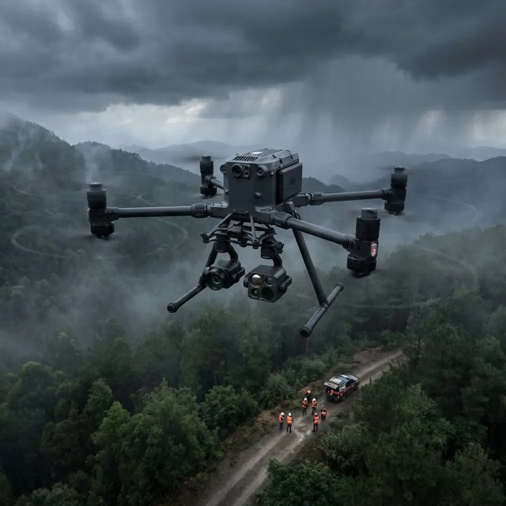
Forest surveying in dusty environments destroys consumer-grade drones within weeks. The Matrice 400 addresses this reality with industrial-grade sealing, extended transmission range, and sensor flexibility that professional surveyors require for reliable data collection.
This tutorial covers antenna optimization strategies, dust mitigation protocols, and workflow configurations that maximize your survey efficiency while protecting your investment.
Understanding the Matrice 400's Core Capabilities for Forest Work
The Matrice 400 platform represents a significant advancement in professional surveying technology. Its modular design accommodates multiple payload configurations essential for comprehensive forest assessment.
Transmission System Architecture
The O3 transmission system operates on dual-frequency bands, automatically switching between 2.4GHz and 5.8GHz to maintain stable connections through dense canopy. This redundancy proves critical when surveying remote forest parcels where signal obstruction is constant.
Key transmission specifications:
- Maximum range: 15km in unobstructed conditions
- Effective forest range: 8-10km with proper antenna positioning
- Latency: 120ms for real-time video feed
- Automatic frequency hopping: 1000+ channels
Environmental Protection Features
Dusty forest environments—particularly during dry seasons or after controlled burns—present unique challenges. The Matrice 400's sealed motor design and filtered ventilation system prevent particulate ingestion that degrades performance.
Expert Insight: After surveying in dusty conditions, use compressed air at 30 PSI maximum to clear external vents. Never exceed this pressure, as higher settings can force particles past seals into internal components.
Antenna Positioning for Maximum Range in Forest Environments
Proper antenna positioning separates successful forest surveys from frustrating signal dropouts. The Matrice 400's remote controller features omnidirectional antennas that require specific orientation for optimal performance.
The 45-Degree Rule
Position both antennas at 45-degree angles relative to the ground, creating a V-shape when viewed from above. This configuration provides:
- 360-degree horizontal coverage for circling survey patterns
- Improved vertical reception when the drone operates above canopy level
- Reduced signal nulls that occur with parallel antenna positioning
Ground Station Placement
Your ground station location dramatically affects transmission quality. Follow these guidelines:
- Elevate the controller at least 2 meters above ground level using a tripod mount
- Clear a 10-meter radius of metal objects, vehicles, and electronic equipment
- Position yourself uphill from the survey area when terrain permits
- Face the controller toward the primary survey zone
Pro Tip: Carry a portable 3-meter telescoping mast for controller mounting. This single investment can extend effective range by 40% in heavily forested terrain by lifting your transmission point above ground-level obstructions.
Configuring Thermal and Photogrammetry Workflows
Forest surveying typically requires both thermal signature analysis and photogrammetric mapping. The Matrice 400 supports simultaneous dual-sensor operation, streamlining data collection.
Thermal Imaging Applications
Thermal sensors detect temperature differentials that reveal:
- Pest infestations through stressed tree canopy signatures
- Underground water sources affecting root zone temperatures
- Wildlife populations for conservation assessments
- Fire risk zones with elevated ground temperatures
Configure thermal capture at 30-second intervals during systematic grid flights. This timing balances data density with storage efficiency for surveys covering 500+ hectares.
Photogrammetry Settings for Dusty Conditions
Airborne dust particles scatter light and reduce image clarity. Compensate with these adjustments:
| Parameter | Standard Setting | Dusty Condition Setting |
|---|---|---|
| Shutter Speed | 1/1000s | 1/1600s |
| ISO | Auto (100-800) | Fixed 200-400 |
| Overlap (Front) | 75% | 80% |
| Overlap (Side) | 65% | 70% |
| GCP Density | 1 per 10 hectares | 1 per 8 hectares |
Increased overlap compensates for occasional frames degraded by dust interference, ensuring your photogrammetry software maintains accurate point cloud generation.
GCP Deployment Strategies for Forest Terrain
Ground Control Points establish spatial accuracy for your survey outputs. Forest environments complicate GCP placement due to canopy obstruction and uneven terrain.
Optimal GCP Placement
Deploy GCPs in natural clearings, along forest roads, and at terrain transitions where canopy gaps provide clear aerial visibility. Each GCP requires:
- Minimum 3-meter clearing from overhead obstructions
- High-contrast target panels measuring at least 60cm x 60cm
- RTK-grade coordinates with 2cm horizontal accuracy
GCP Distribution Pattern
For forest surveys, use a modified grid pattern:
- Place perimeter GCPs at all accessible corners
- Add interior GCPs along roads and trails
- Include elevation reference points at terrain high and low points
- Target 1 GCP per 8 hectares minimum for sub-decimeter accuracy
BVLOS Operations in Remote Forest Areas
Beyond Visual Line of Sight operations extend your survey capabilities but require additional preparation and regulatory compliance.
Pre-Flight Requirements
Before conducting BVLOS forest surveys:
- Obtain appropriate regulatory authorization for your jurisdiction
- Establish visual observer positions at calculated intervals
- Configure automated return-to-home triggers for signal loss scenarios
- File NOTAMs when operating near aviation corridors
Hot-Swap Battery Protocol
The Matrice 400's hot-swap battery system enables extended BVLOS missions without landing. Maintain continuous operation by:
- Monitoring battery levels through the DJI Pilot 2 interface
- Initiating swap sequence at 30% remaining capacity
- Completing physical battery exchange within 45 seconds
- Verifying power transfer before resuming mission
This protocol supports survey sessions exceeding 4 hours with proper battery inventory management.
Data Security During Forest Surveys
Environmental survey data often carries significant commercial or regulatory value. The Matrice 400's AES-256 encryption protects transmission integrity, but comprehensive security requires additional measures.
Secure Workflow Practices
- Enable local data mode to prevent cloud synchronization during sensitive surveys
- Use encrypted SD cards for primary storage
- Implement chain of custody documentation for regulatory submissions
- Configure automatic file deletion after verified backup completion
Common Mistakes to Avoid
Neglecting pre-flight sensor calibration in dusty conditions leads to compass errors and erratic flight behavior. Always recalibrate when dust accumulation is visible on the airframe.
Positioning antennas parallel to each other creates signal nulls directly ahead of the controller—exactly where your drone operates during most survey patterns.
Ignoring humidity fluctuations in forest environments causes lens fogging during rapid altitude changes. Allow 10 minutes for equipment temperature equalization before launch.
Underestimating canopy density effects on GPS accuracy results in position drift. Enable RTK correction or increase GCP density in heavily forested zones.
Skipping post-flight dust removal allows particulate buildup that eventually penetrates seals. Clean external surfaces after every dusty environment operation.
Frequently Asked Questions
How does dust affect the Matrice 400's thermal sensor accuracy?
Dust accumulation on the thermal sensor lens creates false temperature readings and reduces detection sensitivity. Clean the lens with a microfiber cloth and isopropyl alcohol before each flight. Heavy dust conditions may require mid-mission cleaning during battery swaps to maintain accurate thermal signature detection.
What GCP accuracy is required for forestry-grade photogrammetry?
Professional forestry applications typically require 5cm horizontal and 10cm vertical accuracy in final deliverables. Achieving this standard demands RTK-grade GCP coordinates with 2cm accuracy and proper distribution across your survey area. Increase GCP density in areas with significant elevation variation.
Can the Matrice 400 operate effectively under forest canopy?
The Matrice 400 is designed for above-canopy operation where GPS signals remain strong. Under-canopy flight severely degrades positioning accuracy and transmission range. For sub-canopy assessment, conduct low-altitude flights in clearings and use oblique camera angles to capture understory conditions from above the treeline.
Ready for your own Matrice 400? Contact our team for expert consultation.